How Scientists Explore the Deep Ocean, the Least Mapped Place on Earth
Much of the seafloor is still known only in rough outline. Researchers are combining sonar, robotic vehicles and drifting floats to understand an environment that shapes climate, fisheries and coastlines.

It is often said that we have better maps of the surface of Mars than of the floor of our own oceans. The comparison is slightly unfair, since mapping a planet without water is far easier, but it captures something true. The ocean covers roughly 70 percent of the Earth, yet only a minority of its floor has been mapped in high resolution, and the deep water column above it remains thinly observed.
That gap matters. The ocean absorbs much of the heat and carbon dioxide added to the atmosphere by human activity, supports fisheries that feed billions of people, and shapes the storms and sea levels that coastal communities face. Here is how scientists are working to understand it better.
Mapping the seafloor with sound
Light fades quickly in seawater, so cameras and lasers are of little use for broad mapping. Instead, scientists rely on sound. A ship equipped with a multibeam echosounder sends out a fan of sound pulses and listens for echoes from the seafloor. The time each echo takes to return reveals the depth, building up a detailed swath of terrain beneath the vessel.
The catch is speed. A ship can only map a strip a few kilometres wide at a time, and the oceans are enormous. International efforts to map the entire seafloor have encouraged research vessels, commercial ships and even fishing boats to collect and share depth data during their normal voyages. Satellites help too, by measuring tiny bumps in the sea surface caused by the gravitational pull of underwater mountains, though this gives only a coarse picture.
Robots that go where people cannot
Sending people to the deep sea is expensive and limited. Much of the hands-on work is now done by robots, which come in two main types.
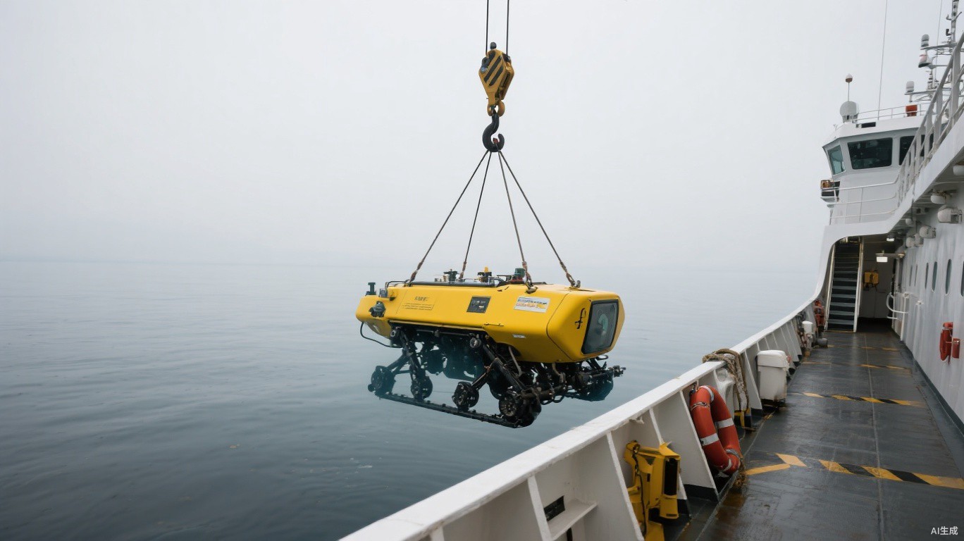
Remotely operated vehicles, or ROVs, are tethered to a ship by a cable that carries power and data. Pilots on board steer them in real time, using cameras and robotic arms to collect samples of rock, sediment and marine life. Autonomous underwater vehicles, or AUVs, are untethered and follow pre-programmed routes, often carrying high-resolution sonar close to the seafloor to produce far sharper maps than a ship on the surface can.
A marine geologist who has spent many seasons at sea explained why the combination matters.
The ship gives you the broad outline, the autonomous vehicle fills in the detail, and the remotely operated vehicle lets you reach out and actually touch what you have found.
Floats that measure a changing ocean
Mapping the shape of the seafloor is only part of the story. To understand climate, scientists need to track temperature, salinity and other properties throughout the water column. One of the most successful tools for this is a global network of several thousand robotic profiling floats.
Each float drifts at depth, typically around one kilometre down, then periodically sinks deeper before rising to the surface while recording measurements. At the surface, it transmits its data by satellite and then descends again. Newer floats can dive to the deep ocean and carry sensors for oxygen, acidity, nutrients and tiny plant life known as phytoplankton. Together they provide a steady, near-global record that did not exist a generation ago.
What researchers are learning
These tools have reshaped our understanding of the ocean in several ways:
- The upper ocean has absorbed the large majority of the excess heat trapped by greenhouse gases, with warming now detectable at considerable depths.
- Oxygen levels in parts of the ocean are declining, with implications for fish and other marine life.
- Seamounts and hydrothermal vents host diverse ecosystems, many containing species new to science.
- Deep currents play a central role in redistributing heat around the planet over long timescales.
- Detailed seafloor maps improve tsunami modelling and help plan the routes of undersea cables.
The challenges ahead
Ocean research remains costly. Research ships are expensive to operate, and long expeditions require crews, fuel and careful planning around weather. Data coverage is still uneven, with the Southern Ocean, polar seas under ice and the deepest trenches especially hard to observe.
There are also policy questions. Interest in deep-sea mining for minerals used in batteries has prompted debate about how to balance resource demand with protecting ecosystems that are still poorly understood. Many scientists argue that better baseline knowledge is needed before large-scale disturbance begins, and international discussions on the subject continue.
Technology is steadily lowering the barriers. Uncrewed surface vessels powered by wind and solar energy can now collect data for months without a crew. Cheaper sensors, better batteries and improved satellite communication mean that observations which once required a dedicated expedition can increasingly be gathered routinely.
The deep ocean is unlikely to be fully understood any time soon. But the picture is sharpening each year, and with it our ability to anticipate how the planet's largest habitat will respond to the changes already under way.